Optical satellite data
Cameras that register optical radiation are generating optical data. The images depend on the sun as energy source and therefore the technique belongs to passive sensors (compared with active sensors, e.g. radar or laser). Optical images can be captured as humans normally perceive them, e.g., as red-blue-green images. However, cameras used for aerial photography are normally able to register many more wavelengths also above the human spectrum. The colors that can be registered are denoted spectral bands and they are unique for every sensor. Yet, common bands (e.g. red or near-infrared) often have overlapping ranges of the registered wavelengths, regardless of the sensor.
Intermediate optical satellite sensors might provide data at about 10-30 m resolution depending on the band. Such sensors that provide free data are e.g. the American NASA Landsat series and the European ESA Sentinel-2 satellites.
Commercial alternatives provide data at very high resolution (VHR), which often corresponds to sub-meter pixels. E.g. the WorldView-3 sensors register images with 30 cm pixels – from space!
Main advantages of optical satellite data compared to other techniques are good image geometry and high resolution. The main disadvantage is it’s dependence of daylight and cloud free conditions.
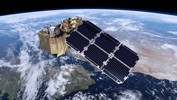
Sentinel-2. Courtesy: ESA